LOCATION:
DEPTH:
MAGNITUDE:
38.2568N
26.8345E (KOERI)
38.21N 26.87E(USGS)
10.0 kilometers
Md=5.6 (KOERI) - Mw=5.7 (USGS)
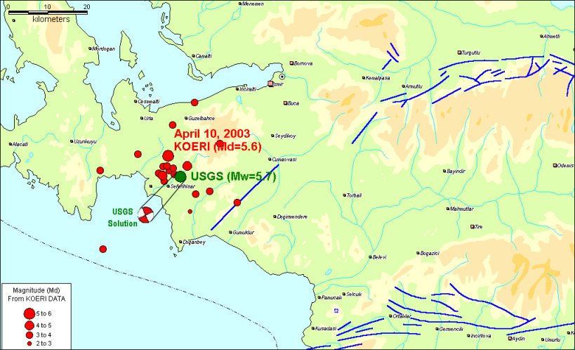
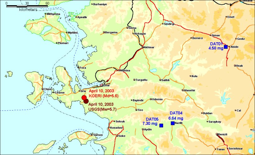
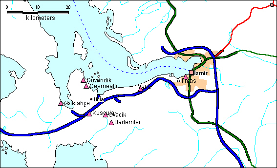
APRIL 10, 2003 URLA-İZMİR (TURKEY) EARTHQUAKEPreliminary Report (Updated April 11, 2003) |
| DATE
-TIME:
LOCATION: DEPTH: MAGNITUDE: |
2003
04 10 00:40:14 UTC
38.2568N
26.8345E (KOERI) 10.0 kilometers Md=5.6 (KOERI) - Mw=5.7 (USGS) |
|
EARTHQUAKE ACTIVITY ( APRIL 10-14, 2003) |
||
|
|
||
STRONG GROUND
MOTION
|
|
The earthquake was recorded by three strong motion recording stations operated by the Earthquake Research Department of General Directorate of Disaster Affairs.The horizontal peak ground accelerations are presented in the following figure. The acceleraiton records can be reached at http://angora.deprem.gov.tr/sond.htm
|
|
|
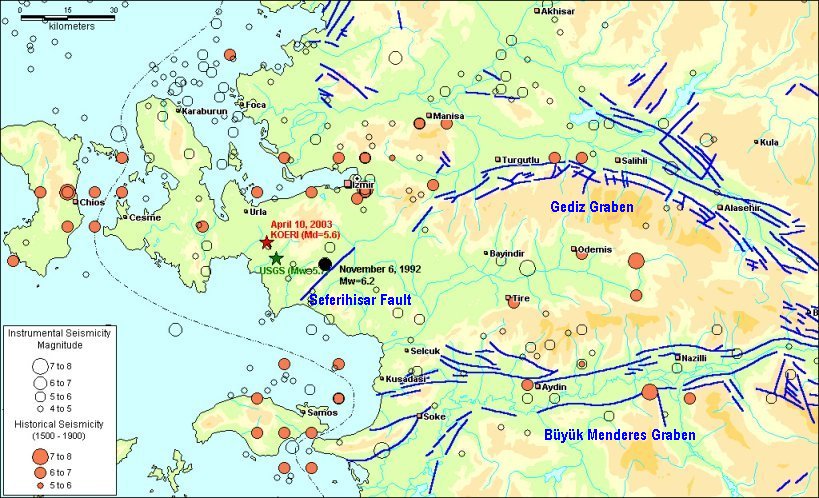
HISTORICAL AND INSTRUMENTAL EARTHQUAKES
|
|
|
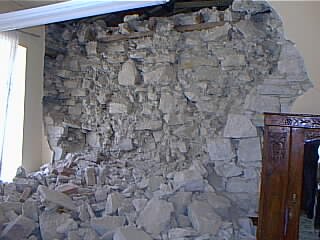
DAMAGE |
|||||||||||||||||||||||||||||||||||||||||||||||||
Data from the Ministry of Public Works and Settlement |
|
||||||||||||||||||||||||||||||||||||||||||||||||
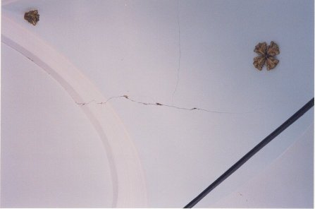
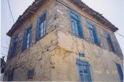
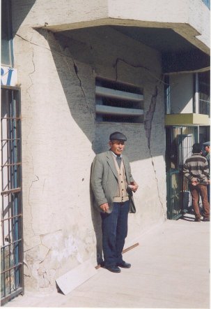
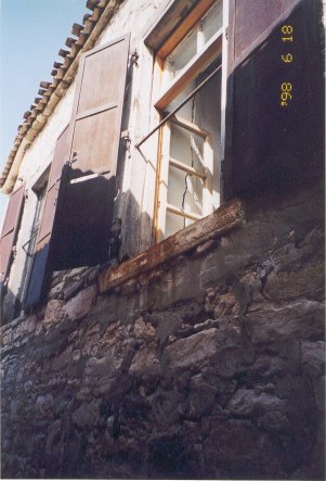
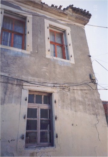
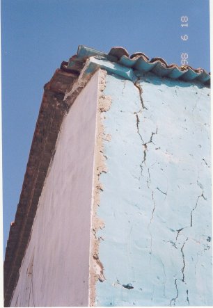
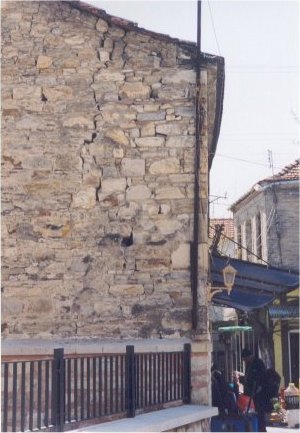
PICTURES (courtesy of Mr. Muzaffer Tunçağ) |
|||||||||||||||||||||||||||||||||||||||||||||||||
|
|
|
||||||||||||||||||||||||||||||||||||||||||||||||
|
|
|
||||||||||||||||||||||||||||||||||||||||||||||||
|
|
|
||||||||||||||||||||||||||||||||||||||||||||||||
|
|
|
||||||||||||||||||||||||||||||||||||||||||||||||